DJI Drones for Mapping: Creating Accurate and Detailed Maps
DJI drones have revolutionized the mapping industry, offering a cost-effective and efficient way to capture high-resolution aerial imagery for creating accurate and detailed maps. Here's a breakdown of how DJI drones excel in mapping, along with some key considerations:
Advantages of DJI Drones for Mapping:
* High-Resolution Imagery: DJI drones are equipped with high-quality cameras capable of capturing images with resolutions exceeding 20MP. This allows for detailed maps that capture minute features.
* Precise Flight Control: DJI's advanced flight control systems ensure precise flight paths and accurate image capturing. This minimizes errors and ensures the data is suitable for creating accurate maps.
* Ease of Use and Accessibility: DJI drones are designed with user-friendliness in mind, making them accessible to both professionals and hobbyists. The intuitive software and automated flight modes simplify the mapping process.
* Cost-Effective Solution: Compared to traditional aerial mapping methods, DJI drones offer a significantly more cost-effective solution, making them a popular choice for various applications.
* Flexibility and Versatility: DJI drones can be deployed in various environments, including urban areas, rural landscapes, and even challenging terrains like forests and mountains.
Key Considerations for Mapping with DJI Drones:
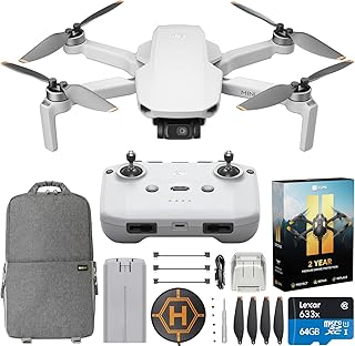
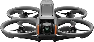
* Drone Model Selection: Choosing the right DJI drone model depends on your mapping needs and budget. Consider factors like camera resolution, flight time, payload capacity, and mapping software compatibility.
* Mapping Software: DJI offers its own mapping software, DJI Terra, but there are other third-party software solutions like Pix4Dmapper and Agisoft Metashape. Select software that best suits your requirements and data processing capabilities.
* Flight Planning: Proper flight planning is crucial for successful mapping. This includes defining the flight area, selecting the optimal flight altitude, and setting the correct overlap between images to ensure accurate data capture.
* Data Processing: After capturing the images, they need to be processed using specialized mapping software to generate a 3D model, orthomosaic map, and point cloud. This involves image alignment, georeferencing, and creating a 3D representation of the mapped area.
* Accuracy and Precision: To achieve high accuracy, you need to consider factors like ground control points (GCPs), flight stability, and atmospheric conditions. GCPs are physical points on the ground that are used to precisely geo-reference the images and improve the accuracy of the final map.
Applications of DJI Drones in Mapping:
* Construction and Infrastructure: Monitoring progress, site surveys, and volume calculations.
* Agriculture: Field surveys, crop health monitoring, and irrigation optimization.
* Environmental Monitoring: Forest inventory, erosion monitoring, and wildlife habitat mapping.
* Emergency Response: Damage assessment, search and rescue, and situational awareness.
* Urban Planning: City planning, 3D modeling, and infrastructure management.
* Archaeology and Cultural Heritage: Site documentation, 3D reconstructions, and preservation monitoring.
Conclusion:
DJI drones have become an invaluable tool for mapping professionals and enthusiasts, offering a powerful and affordable solution for creating accurate and detailed maps. By considering the key factors mentioned above, you can leverage the capabilities of DJI drones to effectively map various environments and applications.


